


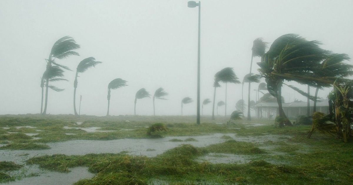
MIAMI.- Despite the recent lull in cyclone activity following storms Beryl and Chris, which affected several countries in their wake, meteorologists warn that the calm is temporary, so it is necessary to be alert and prepared.
Hurricane season is far from over, and an increase in activity is highly likely in the coming weeks.
“If there’s an ideal time for a cruise during hurricane season, it’s mid-July,” explained News 6 weather specialist Jonathan Kegges. “It’s not always the case, but most of the time it is.”
This pause in activity is due to a combination of factors, given that we are in a transition period, moving from local storms in early July to those originating in Africa and moving across the Atlantic, according to the expert.
In addition, Saharan dust reaches its maximum concentration, preventing the development of storms.
Another crucial factor is the Madden-Julian Oscillation (MJO), a weather pattern that moves across the planet and affects tropical activity. The MJO is currently in a phase that favors development in the Pacific, creating an unfavorable environment for storm formation in the Atlantic.
Upcoming changes
However, this pattern will change in late July or early August. The MJO will move into a position that will promote hurricane formation, with an increase in tropical wave activity originating from Africa, in line with weather patterns.
“The abundance of moisture and low wind shear in the Atlantic will give these waves a chance to develop,” Kegges said. “We are entering the climatological peak of hurricane season, and conditions will be ideal for storm formation.”
The initial forecast for an extremely active season remains valid, and experts recommend that the population stay informed and prepared.
Despite the current lull, hurricane season continues, and the coming weeks could bring increased activity.