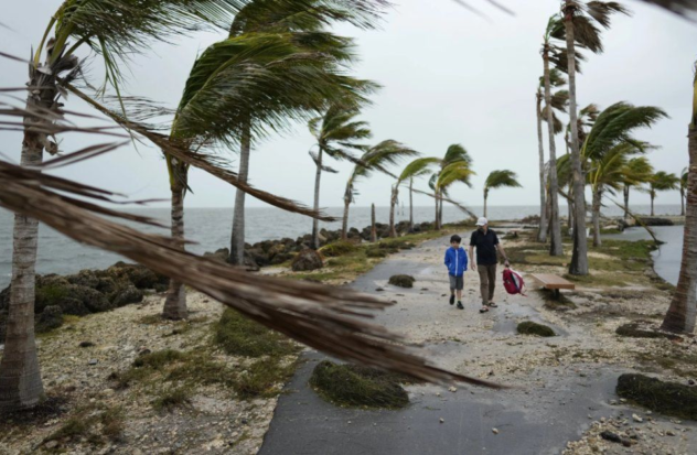
MIAMI.- The United States National Hurricane Center (NHC) issues an alert for the possible first tropical cycle of the 2024 hurricane season in the southwest of the Gulf of Mexico, near the Yucatan Peninsula. The storm is heading north and is expected to affect the southeast and coastal Texas over the next three days. Heavy rain, dangerous winds, storm surge and possible flash flooding are forecast. Stay informed to be prepared!
A tropical storm watch is in effect from Port O’Connor in southern Texas to northeastern Mexico, as a wide area of thunderstorms in the Gulf of Mexico becomes the first tropical storm of an active season.
The United States National Hurricane Center (NHS) designated the system as Potential Tropical Cyclone One. Although it is not yet a tropical storm, it is expected to evolve and pose a threat to the watch areas in the next 48 hours.
With winds of 64 km/h, it is expected to become Tropical Storm Alberto before approaching the northern coast of Mexico. Despite its short time over water, it is expected to cause significant rainfall and flooding in Central America, southern Mexico and the western US Gulf Coast.
Heavy rain weekend
The National Hurricane Center monitors two additional areas where tropical systems could develop.
Meteorologists from the US and Mexico agree that starting this weekend and especially next week, the southeast, east, south, center, northeast and part of western Mexico could be experiencing heavy and torrential rains, as well as days of more cloudiness depending on the wind direction the next few days.
They point out that the low pressure area over the Florida peninsula does not present a threat to Mexico due to the direction it is taking towards the northeast.
The Gulf and southeastern regions of Mexico are expected to be the most affected, with rainfall accumulations that could exceed 500 millimeters in mountainous areas, which represents a risk to the population and a threat to agriculture and infrastructure.
During this week, multiple days of heavy rain are expected in areas of Central America, southern Mexico and the western Gulf Coast of the US, regardless of tropical development.
This Monday, intense rainfall was recorded in some regions of Mexico, Guatemala, Belize, El Salvador and Honduras due to the atmospheric disturbance. For Thursday, double-digit rainfall is forecast in these areas.
Although areas of Mexico and Central America have been experiencing drought after weeks of intense heat, the continued arrival of torrential rains will quickly saturate dry soils, causing dangerous flooding as they cannot absorb water as quickly as they can. falls off.
Flood risk
Deep tropical moisture is also fueling storms along the western US Gulf Coast, where significant precipitation accumulations are expected over the weekend in parts of Texas and the southern coast.
There is a moderate to high risk of flooding from rainfall from the Texas coast to southern Alabama on Monday, increasing to a Level 3 on Tuesday in areas of Texas and Louisiana.
On Wednesday, exceptionally high moisture is expected over the Gulf Coast, which could result in flash flooding. A significant threat remains for Texas on Wednesday.
Even though June has been drier after a wet spring, the coastal areas of East Texas and West Louisiana still retain a lot of water in their soils and rivers.
(email protected)
Source: National Hurricane Center, El Universal, CNN, El País


