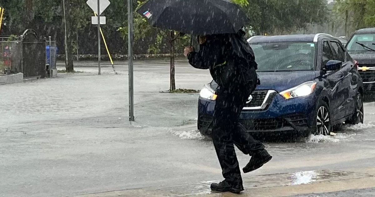
MIAMI.- The south of the Florida prepares for a Tuesday marked by a high wind warning that will remain in effect until 7:00 pm, with the possibility of gusts that could reach 40 mph in this area.
Despite the cloudiness that will cover much of the day, precipitation will be limited to nighttime hours as a cold front advance over the area, according to meteorologists.
Temperatures will remain above usual for this time of year, reaching an average of around 70°F during the afternoon.
Weather prediction models show that rains They will occur for short periods of time and are expected to pass quickly during the night.
On Wednesday, although a drop in temperatures is announced, it will not be as pronounced as anticipated. Lows will remain in the low 60s, while highs will remain in the low 70s.
South Florida is on alert for these weather changes and residents are encouraged to monitor forecast updates to adjust their plans accordingly.
Possible impacts
- Thunderstorms from 7:00 pm to midnight
- Gusts over 40 mph (high)
- Heavy rain (high)
- Dangerous navigation (High)
- Brief Tornado (Low)
Alerts in South Florida
A gale warning for coastal waters from Jupiter Inlet to Deerfield Beach is in effect until 4:00 a.m. Wednesday.
A wind advisory is in effect for Palm Beach County until 7:00 pm Tuesday. Winds may gust up to 45 mph.
There is also a high surf advisory for the Palm Beach County coast that will go into effect from 7:00 pm Tuesday until 7:00 am Wednesday.