This weekend, the south of the Iberian Peninsula will be under the influence of a Isolated Depression at High Levels (DANA). According to Rubén del Campo, spokesperson for the State Meteorological Agency (AEMET), it is expected that the mountainous areas of southern Extremadura, Castilla-La Mancha and Andaluca are the most affected by intense showerswhich could be accompanied by hail in some cases.
This weekend, the presence of a DANA in the southern area of the peninsula unstabilize the weather there and this will increase the probability of stormy showersespecially in mountain areas in the south of Extremadura, Castilla-La Mancha and Andaluca, the spokesperson pointed out.
Significant rainfall is also expected in Ceuta and Melilla, reinforcing the instability in these areas.. This weather situation will continue over the weekend, which could cause difficulties for outdoor activities and traffic in these areas.
Next week, a marked climate change will be experienced in the northern half of Spain due to the arrival of a pocket of cold air from high latitudes. This change will bring with it a significant drop in temperatures.that on Monday and Tuesday They could be between 5 and 10 degrees below normal for this time of year.
Temperatures typical of the end of February
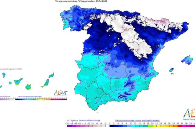
Furthermore, Night frosts are expected in areas of the interior of the north and center of the peninsula, as well as a decrease in the snow level in the north to 700 meters. Although rainfall will not be abundant, it will be concentrated in the extreme north, points in the Mediterranean and the Balearic Islands.
This weekend will be unstable in the south of the peninsula due to DANAwhile next week an unusual cold is expected in the north due to the entry of cold air, which It could affect various activities and require caution in the affected areas.
Tuesday will be the coldest day
On Monday, April 22, a sharp drop in daytime temperatures is expected in much of the interior of the northern half of the Iberian Peninsula.. It will be especially noticeable in Aragón, the east of Castile and León, the north of Madrid and Castilla-La Mancha, as well as in the northwest of Catalonia.
Continue this trend on Tuesday April 23, although less pronounced and extending to areas of the southern half of the peninsula. Regarding minimum temperatures, a general decline in the interior of the peninsulawith frosts that will occur in high areas of the northern half during Monday.
Starting in the second half of Tuesday, it is expected that the Atlantic anticyclone moves southwest, which will stop the entry of cold air from the north. This will cause a rise in temperatures starting on Wednesday the 24th, although the minimums could remain low in the Pyrenean area during that day.
Follow the Diario AS channel on WhatsAppwhere you will find all the sport in a single space: the current news of the day, the agenda with the latest news of the most important sporting events, the most outstanding images, the opinion of the best AS brands, reports, videos, and some humor from time to time.