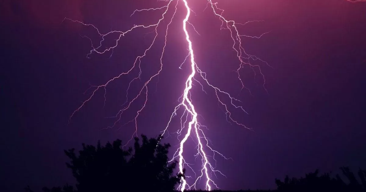
MIAMI.- The worst is already over with a great winter storm that mainly affected the north of the state. However, it is expected that on Friday another cold front move towards the south of the Floridato bring thunderstorms and strong winds in some areas.
Tuesday’s winter storms generated tornadoes and strong breezes that affected homes and businessesand leaving tens of thousands of people without electricity in the Panhandle and Big Bend sectors in northern Florida.
Some videos showed severe structural damage caused by a tornado that occurred in the Lower Grand Lagoon area, south of Panama City, while another Similar phenomenon devastated much of the Marianna area.
In Tallahassee, capital of the Sunshine State, the storm left thousands of customers in the city without power. Some universities, colleges and schools were forced to suspend their classes.
Storms in South Florida
Meanwhile, winds of up to 40 mph were reported in South Florida. Local authorities had issued a high wind warning during the night on Tuesday.
For the next few days, meteorologists predict a slight improvement in weather conditions, with temperatures ranging from lows of 60 degrees to highs of 70 degrees.
He cold front that passed through southern Florida will return northward and will bring some scattered showers and a possible storm or two Thursday into early Friday, according to forecast models.
On Friday, gusts of wind are expected from the south and maximum temperatures will reach around 80 degrees. However, another cold front could bring rain and thunderstorms to the area.
Authorities recommended Florida residents stay up to date with weather updates. Precautions never hurt.


