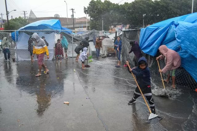
Drafting.- Mexican authorities called on the population of the center and north of the country to take precautions against the heavy rains that will cause a low pressure zone, with the potential for a hurricane in the following hours, although they ruled out the phenomenon making landfall.
“In the next few hours, the low pressure cloud bands with cyclonic potential, located in the Pacific Ocean, will cause clouds and rain in Colima, Guerrero, Jalisco and Michoacán,” said Alejandra Margarita Méndez Girón, general coordinator of the National Meteorological Service (SMN).
Méndez Girón indicated that, during the afternoon and tonight of today, the low pressure will maintain its slow movement to the west-northwest, parallel to the coasts of Michoacán and Colima, and that it is expected to intensify into a tropical depression, during tonight or early Saturday morning, so it would bear the name of Six-E.
The meteorological phenomenon, he pointed out, would have winds of 62 kilometers per hour (km/h) and would be located off the coasts of Michoacán and Colima, with its center approximately 200 kilometers from the coasts of these entities.
In the afternoon-night of tomorrow, it abounded, it could intensify to a tropical storm, and it would carry the name of Eugene.
This possible storm is estimated to be located off the coast of Jalisco, with winds of 63 to 118 km/h and its center would be located approximately 200 km from the Jalisco coast.
“From this Friday until Sunday, the cloud bands of the system will cause very strong to intense rains in Guerrero, Michoacán, Colima and Jalisco,” said the official.
It is expected that, as of Saturday night, this system will move towards the Baja California Peninsula and on Sunday its center will be located approximately 250 km from the coasts of Baja California Sur.
He also stressed that the cloudy bands will cause heavy rains in Baja California Sur, particularly in the municipalities of Los Cabos and La Paz, but it will move away from the Mexican coasts starting Monday.
Luis Ortega, director of the National Center for Communication and Operation of the National Coordination of Civil Protection, said that the phenomenon is expected to “move parallel to the Mexican coasts” so it is unlikely that it will make landfall, although the possibility is not ruled out. possibility.
Regarding the response capacity of the National Water Commission (Conagua), the manager of Infrastructure Protection and Emergency Attention, Leonardo González Neri, stressed that, in the area of influence of the tropical wave, there are Regional Centers of Emergency Attention (CRAE’s).
These are in Guadalajara, Jalisco and La Paz, Baja California Sur, where there are specialized personnel and equipment to collaborate with the three levels of government in addressing any adverse situation that may arise.
The authorities asked the population to be aware of the recommendations, warnings and alerts on the evolution of meteorological phenomena in order to reduce risks as much as possible.


