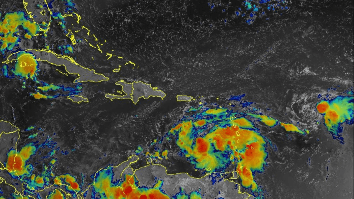
Tropical Storm Hilary, which formed on the morning of Wednesday August 16 in the Pacific Ocean, to be more exact, south of the coast of Guerrero, in Mexico, in less than 24 hours became a category 1 hurricane when registering strong gusts of winds of about 120 km/h.
According to weather forecasts, Hilary could become a major hurricane on Thursday afternoon or early Friday.
Currently, Hurricane Hilary is located about 900 km south-southeast of Cabo San Lucas, Mexico, and is moving west-northwest at about 46 km/h.
With these characteristics, it is estimated that the eye of Hurricane Hilary will approach the Baja California peninsula over the weekend and will produce rainfall ranging from 30 to 152 millimeters, with isolated maximum amounts of 203 millimeters, in parts of the Baja California peninsula. until next Monday morning.
Then, Hilary will move quickly north, although it may weaken along the way, which does not mean that it will hit strong storms in its path.
“Hilary-related heavy rains are expected to affect the southwestern United States from Friday through early next week, peaking on Sunday and Monday,” the National Hurricane Center (NHC) said.
According to the NHC, in the US, Hilary will move north along the east coast and could make landfall as a tropical storm this Monday, reaching with its winds the states of California and Nevada. Under the current forecast, it would move deeper on Tuesday, albeit as a tropical depression.
Keep reading:
* NOAA warns that the 2023 Atlantic hurricane season will be “above normal”
* Tens of millions of US properties are at risk from increased hurricane force winds over the next three decades, report says
* Hurricane Ian: These are the US states with the most hurricanes


